Moat Farm, Barking Tye in 1966
Introduction
The photograph on this page of Moat Farm, Barking Tye in 1966 by John Baker as part of the Geograph project.
The Geograph project started in 2005 with the aim of publishing, organising and preserving representative images for every square kilometre of Great Britain, Ireland and the Isle of Man.

There are currently over 7.5m images from over 14,400 individuals and you can help contribute to the project by visiting https://www.geograph.org.uk
Moat Farm, Barking Tye in 1966
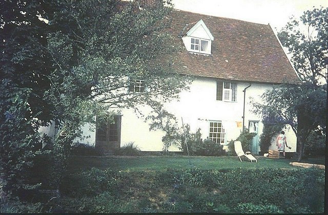
Image: © John Baker Taken: 3 Sep 1966
The darker green at the front of the lawn is the bank of the moat, which also extends down the sides of the house
Images are licensed for reuse under creativecommons.org/licenses/by-sa/2.0
Image Location
Latitude
52.126383
Longitude
1.004076