Fire engine, Dorking Road
Introduction
The photograph on this page of Fire engine, Dorking Road by Derek Harper as part of the Geograph project.
The Geograph project started in 2005 with the aim of publishing, organising and preserving representative images for every square kilometre of Great Britain, Ireland and the Isle of Man.

There are currently over 7.5m images from over 14,400 individuals and you can help contribute to the project by visiting https://www.geograph.org.uk
Fire engine, Dorking Road
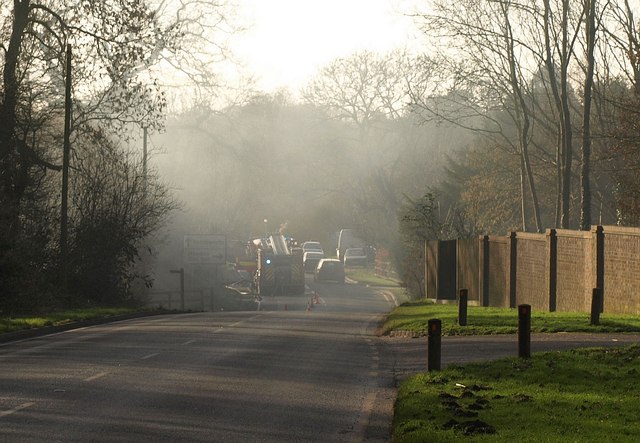
Image: © Derek Harper Taken: 3 Feb 2011
An appliance attends the fire shown in Image, seen here from the point where bridleway 72 crosses the B2032.
Images are licensed for reuse under creativecommons.org/licenses/by-sa/2.0
Image Location
Latitude
51.264124
Longitude
-0.260382