Ramp from elevated pavement to roadway, Stow Hill, Newport
Introduction
The photograph on this page of Ramp from elevated pavement to roadway, Stow Hill, Newport by Jaggery as part of the Geograph project.
The Geograph project started in 2005 with the aim of publishing, organising and preserving representative images for every square kilometre of Great Britain, Ireland and the Isle of Man.

There are currently over 7.5m images from over 14,400 individuals and you can help contribute to the project by visiting https://www.geograph.org.uk
Ramp from elevated pavement to roadway, Stow Hill, Newport
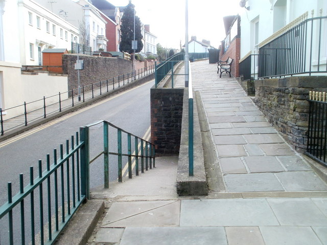
Image: © Jaggery Taken: 6 Mar 2011
Almost opposite Victoria Place, http://www.geograph.org.uk/photo/1911906 the ramp connects the elevated pavement on the west side of Stow Hill with the roadway. Pedestrians need to be careful crossing the road after descending the ramp, because a slight bend in the road means that vehicles descending the hill cannot be seen until only a few metres away.
Images are licensed for reuse under creativecommons.org/licenses/by-sa/2.0
Image Location
Latitude
51.583915
Longitude
-2.997261