A467 Abercarn
Introduction
The photograph on this page of A467 Abercarn by Jaggery as part of the Geograph project.
The Geograph project started in 2005 with the aim of publishing, organising and preserving representative images for every square kilometre of Great Britain, Ireland and the Isle of Man.

There are currently over 7.5m images from over 14,400 individuals and you can help contribute to the project by visiting https://www.geograph.org.uk
A467 Abercarn
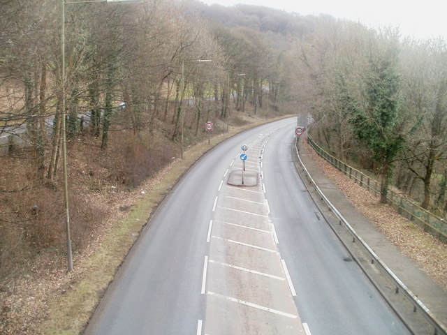
Image: © Jaggery Taken: 23 Jan 2011
Viewed from a footbridge. http://www.geograph.org.uk/photo/2295819 The A467 heads south, near The B4591 on the left, at a slightly higher level.
Images are licensed for reuse under creativecommons.org/licenses/by-sa/2.0
Image Location
Latitude
51.65283
Longitude
-3.13176