Strowan's Well Road
Introduction
The photograph on this page of Strowan's Well Road by Lairich Rig as part of the Geograph project.
The Geograph project started in 2005 with the aim of publishing, organising and preserving representative images for every square kilometre of Great Britain, Ireland and the Isle of Man.

There are currently over 7.5m images from over 14,400 individuals and you can help contribute to the project by visiting https://www.geograph.org.uk
Strowan's Well Road
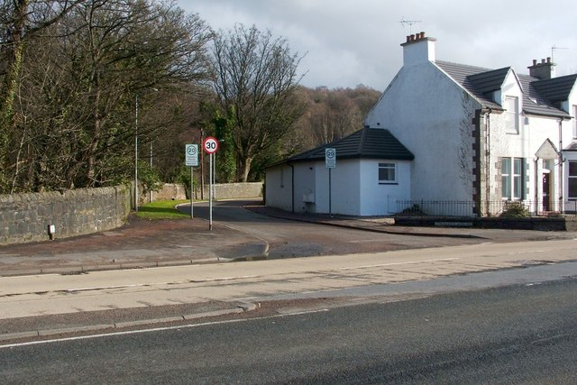
Image: © Lairich Rig Taken: 24 Feb 2011
This photograph shows the junction of the main road (Image) and Strowan's Well Road, in the Barnhill area of Dumbarton. See the link just cited for further context; note that the same building and junction can be seen in that picture. The well after which Strowan's Well Road is named lies about 200 metres to the ENE of the junction, beyond the far end of the road: Image Facing Strowan's Well Road, on the other side of Stirling Road, is the junction with Image
Images are licensed for reuse under creativecommons.org/licenses/by-sa/2.0
Image Location
Latitude
55.943917
Longitude
-4.542875