Bridleway to Poulton Farm
Introduction
The photograph on this page of Bridleway to Poulton Farm by David Anstiss as part of the Geograph project.
The Geograph project started in 2005 with the aim of publishing, organising and preserving representative images for every square kilometre of Great Britain, Ireland and the Isle of Man.

There are currently over 7.5m images from over 14,400 individuals and you can help contribute to the project by visiting https://www.geograph.org.uk
Bridleway to Poulton Farm
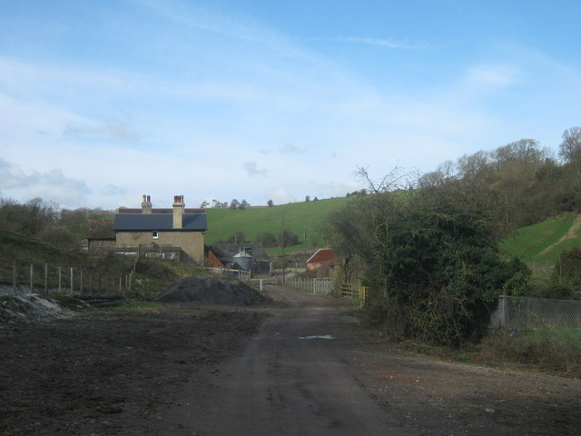
Image: © David Anstiss Taken: 27 Feb 2011
This farm is at the end of Coombe Road (from Dover). A bridleway (track leads to the farm, then a byway leads onwards past Bramble Hill (in the background, on the right) towards Abbey Road near West Hougham.
Images are licensed for reuse under creativecommons.org/licenses/by-sa/2.0
Image Location
Latitude
51.125032
Longitude
1.244353