Egerton URC Graveyard
Introduction
The photograph on this page of Egerton URC Graveyard by David Dixon as part of the Geograph project.
The Geograph project started in 2005 with the aim of publishing, organising and preserving representative images for every square kilometre of Great Britain, Ireland and the Isle of Man.

There are currently over 7.5m images from over 14,400 individuals and you can help contribute to the project by visiting https://www.geograph.org.uk
Egerton URC Graveyard
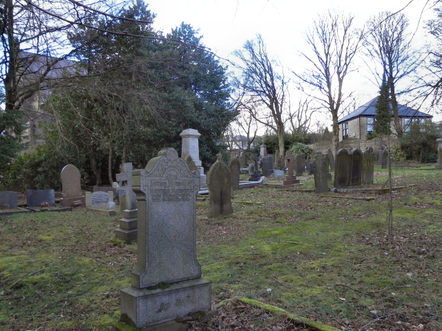
Image: © David Dixon Taken: 26 Feb 2011
The graveyard at Egerton United United Reformed Church, on Blackburn Road. The church itself is barely visible, being mostly hidden by the large tree.
Images are licensed for reuse under creativecommons.org/licenses/by-sa/2.0
Image Location
Latitude
53.631698
Longitude
-2.44198