Cattle grid across a lane near to Golf Road, Nantyglo
Introduction
The photograph on this page of Cattle grid across a lane near to Golf Road, Nantyglo by Jaggery as part of the Geograph project.
The Geograph project started in 2005 with the aim of publishing, organising and preserving representative images for every square kilometre of Great Britain, Ireland and the Isle of Man.

There are currently over 7.5m images from over 14,400 individuals and you can help contribute to the project by visiting https://www.geograph.org.uk
Cattle grid across a lane near to Golf Road, Nantyglo
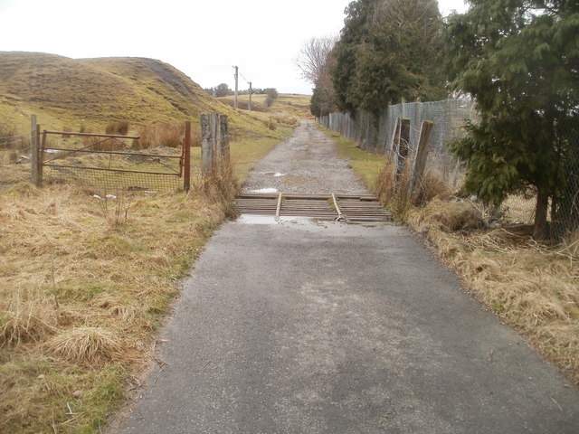
Image: © Jaggery Taken: 3 Feb 2011
An unnamed lane heads NW from Golf Road http://www.geograph.org.uk/photo/2280963 through moorland at about 350 metres (1150 feet) above sea level.
Images are licensed for reuse under creativecommons.org/licenses/by-sa/2.0
Image Location
Latitude
51.79078
Longitude
-3.184509