Lostwithiel Bridge
Introduction
The photograph on this page of Lostwithiel Bridge by Rod Allday as part of the Geograph project.
The Geograph project started in 2005 with the aim of publishing, organising and preserving representative images for every square kilometre of Great Britain, Ireland and the Isle of Man.

There are currently over 7.5m images from over 14,400 individuals and you can help contribute to the project by visiting https://www.geograph.org.uk
Lostwithiel Bridge
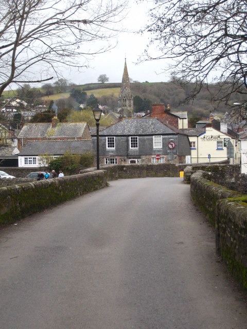
Image: © Rod Allday Taken: 20 Feb 2011
Looking across the medieval bridge towards the town. The spire of St Bartholomew's Church Image is in the centre of the picture.
Images are licensed for reuse under creativecommons.org/licenses/by-sa/2.0
Image Location
Latitude
50.407561
Longitude
-4.666832