Field beside Ely link road (A4232)
Introduction
The photograph on this page of Field beside Ely link road (A4232) by John Light as part of the Geograph project.
The Geograph project started in 2005 with the aim of publishing, organising and preserving representative images for every square kilometre of Great Britain, Ireland and the Isle of Man.

There are currently over 7.5m images from over 14,400 individuals and you can help contribute to the project by visiting https://www.geograph.org.uk
Field beside Ely link road (A4232)
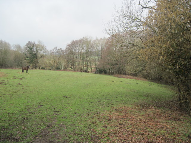
Image: © John Light Taken: 19 Feb 2011
The bridleway splits into two footpaths here - left towards St George's, right towards Michaelston-super-Ely. The river Ely runs behind the trees in centre of shot.
Images are licensed for reuse under creativecommons.org/licenses/by-sa/2.0
Image Location
Latitude
51.476335
Longitude
-3.279155