Road winding through Mabie Forest
Introduction
The photograph on this page of Road winding through Mabie Forest by Trevor Littlewood as part of the Geograph project.
The Geograph project started in 2005 with the aim of publishing, organising and preserving representative images for every square kilometre of Great Britain, Ireland and the Isle of Man.

There are currently over 7.5m images from over 14,400 individuals and you can help contribute to the project by visiting https://www.geograph.org.uk
Road winding through Mabie Forest
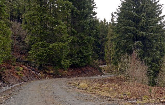
Image: © Trevor Littlewood Taken: 13 Feb 2011
The forestry road winds northwards along the south-western slope of Woodhead Hill, the highest point in Mabie Forest.
Images are licensed for reuse under creativecommons.org/licenses/by-sa/2.0
Image Location
Latitude
55.023799
Longitude
-3.674316