Machen RFC clubhouse
Introduction
The photograph on this page of Machen RFC clubhouse by Jaggery as part of the Geograph project.
The Geograph project started in 2005 with the aim of publishing, organising and preserving representative images for every square kilometre of Great Britain, Ireland and the Isle of Man.

There are currently over 7.5m images from over 14,400 individuals and you can help contribute to the project by visiting https://www.geograph.org.uk
Machen RFC clubhouse
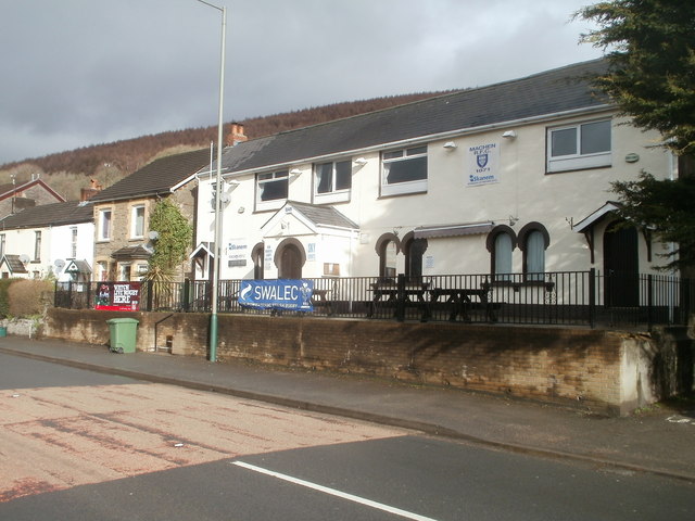
Image: © Jaggery Taken: 14 Feb 2011
Clubhouse located alongside the A468, here named Chatham, in the Chatham area of Machen. The Tradesmans Arms pub http://www.geograph.org.uk/photo/2269397 is a few metres away. A sign on the wall shows Machen RFC (Rugby Football Club) 1871. The clubhouse faces rugby pitches on the far side of the Rhymney River.
Images are licensed for reuse under creativecommons.org/licenses/by-sa/2.0
Image Location
Latitude
51.594356
Longitude
-3.134637