39, St Margaret's Street
Introduction
The photograph on this page of 39, St Margaret's Street by Oast House Archive as part of the Geograph project.
The Geograph project started in 2005 with the aim of publishing, organising and preserving representative images for every square kilometre of Great Britain, Ireland and the Isle of Man.

There are currently over 7.5m images from over 14,400 individuals and you can help contribute to the project by visiting https://www.geograph.org.uk
39, St Margaret's Street
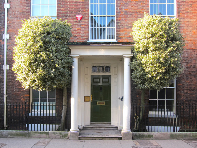
Image: © Oast House Archive Taken: 12 Feb 2011
Attractive symmetrical principal elevation with portico fanlight and a tree to each side of the front door. The grade II listed C18 Georgian house within Canterbury town centre.
Images are licensed for reuse under creativecommons.org/licenses/by-sa/2.0
Image Location
Latitude
51.277657
Longitude
1.078705