Bridleway to Haine Road (2)
Introduction
The photograph on this page of Bridleway to Haine Road (2) by David Anstiss as part of the Geograph project.
The Geograph project started in 2005 with the aim of publishing, organising and preserving representative images for every square kilometre of Great Britain, Ireland and the Isle of Man.

There are currently over 7.5m images from over 14,400 individuals and you can help contribute to the project by visiting https://www.geograph.org.uk
Bridleway to Haine Road (2)
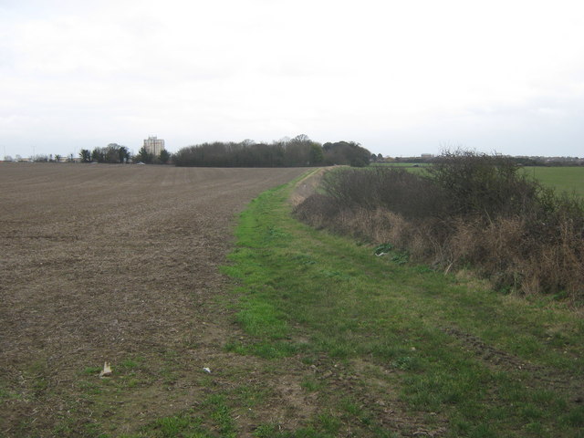
Image: © David Anstiss Taken: 6 Feb 2011
This track leads from Manston High Street, near Bush Farm towards the A256 Haine Road. Staner Court,Ramsgate (block of flats) is seen in the background.
Images are licensed for reuse under creativecommons.org/licenses/by-sa/2.0
Image Location


Leaflet Map data © OpenStreetMap
Latitude
51.341526
Longitude
1.3784