Moor Mead Bridge
Introduction
The photograph on this page of Moor Mead Bridge by Marathon as part of the Geograph project.
The Geograph project started in 2005 with the aim of publishing, organising and preserving representative images for every square kilometre of Great Britain, Ireland and the Isle of Man.

There are currently over 7.5m images from over 14,400 individuals and you can help contribute to the project by visiting https://www.geograph.org.uk
Moor Mead Bridge
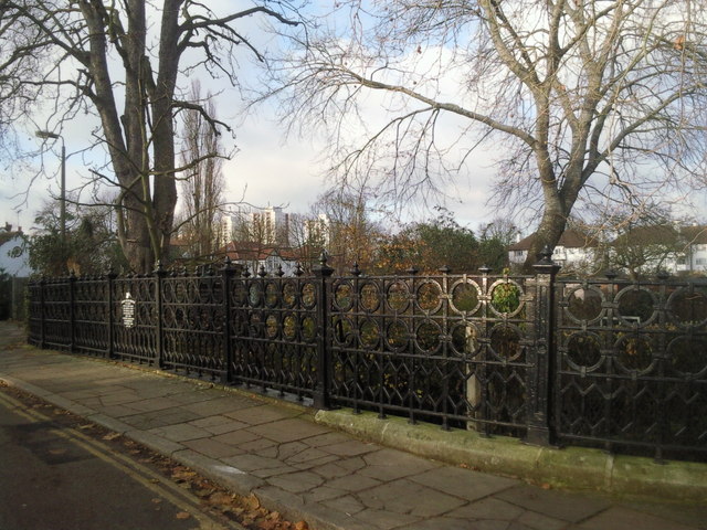
Image: © Marathon Taken: 8 Dec 2010
Moor Mead Bridge takes Hill View Road over the River Crane. The tower blocks in the distance are on the Ivybridge Estate.
Images are licensed for reuse under creativecommons.org/licenses/by-sa/2.0
Image Location
Latitude
51.455194
Longitude
-0.326823