Wythop Mill from Ling Fell
Introduction
The photograph on this page of Wythop Mill from Ling Fell by Jim Barton as part of the Geograph project.
The Geograph project started in 2005 with the aim of publishing, organising and preserving representative images for every square kilometre of Great Britain, Ireland and the Isle of Man.

There are currently over 7.5m images from over 14,400 individuals and you can help contribute to the project by visiting https://www.geograph.org.uk
Wythop Mill from Ling Fell
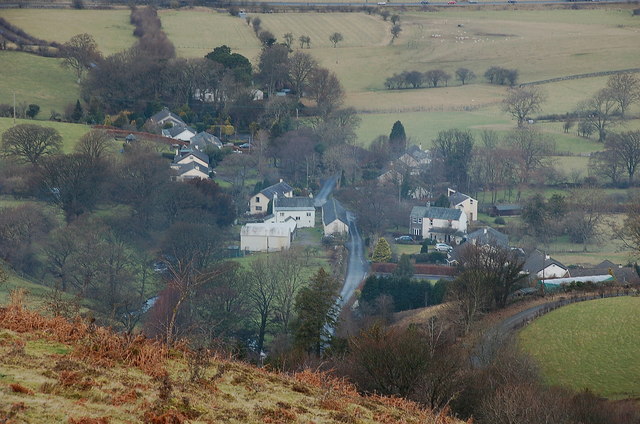
Image: © Jim Barton Taken: 24 Jan 2011
The hamlet of Wythop Mill was based on a water-driven sawmill.
Images are licensed for reuse under creativecommons.org/licenses/by-sa/2.0
Image Location
Latitude
54.655759
Longitude
-3.275326