Broadgate Lane
Introduction
The photograph on this page of Broadgate Lane by Derek Harper as part of the Geograph project.
The Geograph project started in 2005 with the aim of publishing, organising and preserving representative images for every square kilometre of Great Britain, Ireland and the Isle of Man.

There are currently over 7.5m images from over 14,400 individuals and you can help contribute to the project by visiting https://www.geograph.org.uk
Broadgate Lane
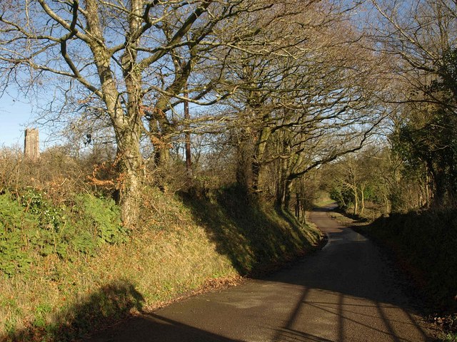
Image: © Derek Harper Taken: 19 Jan 2011
The lane connects the green at the top of Polson Hill with Lowertown; here it passes footpaths to right and left while curving between trees across a slight valley. Up to the left is St Mary's Church; see http://www.geograph.org.uk/search.php?i=18601511 .
Images are licensed for reuse under creativecommons.org/licenses/by-sa/2.0
Image Location
Latitude
50.85205
Longitude
-3.746018