The track of Catchwell Road, Dipton
Introduction
The photograph on this page of The track of Catchwell Road, Dipton by Andrew Curtis as part of the Geograph project.
The Geograph project started in 2005 with the aim of publishing, organising and preserving representative images for every square kilometre of Great Britain, Ireland and the Isle of Man.

There are currently over 7.5m images from over 14,400 individuals and you can help contribute to the project by visiting https://www.geograph.org.uk
The track of Catchwell Road, Dipton
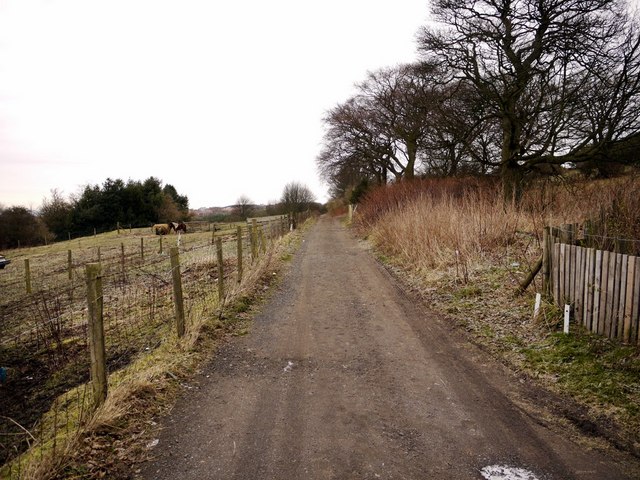
Image: © Andrew Curtis Taken: 7 Jan 2011
The track is on the line of the old Pontop Pike waggonway. The waggonways were laid out in this area as early as 1728. Horses were used to pull chaldron waggons along wooden rails of a usual gauge of 4 feet, transporting coal from the many pits around Pontop Pike towards staithes on the nearby rivers. A chaldron is a unit of dry measure which was 36 bushels for coal. The waggonways consisted of two tracks laid side by side, the main way and the bye way. The main way carried the full wagon down gradient, and then on the bye way, the horse pulled the empty wagon up gradient. There is a detailed essay here http://www.pontvalley.net/cms/index.php?module=pagemaster&PAGE_user_op=view_page&PAGE_id=26
Images are licensed for reuse under creativecommons.org/licenses/by-sa/2.0
Image Location
Latitude
54.877279
Longitude
-1.757159