The Stour Valley Walk crosses the lane near Standhill Farm
Introduction
The photograph on this page of The Stour Valley Walk crosses the lane near Standhill Farm by David Anstiss as part of the Geograph project.
The Geograph project started in 2005 with the aim of publishing, organising and preserving representative images for every square kilometre of Great Britain, Ireland and the Isle of Man.

There are currently over 7.5m images from over 14,400 individuals and you can help contribute to the project by visiting https://www.geograph.org.uk
The Stour Valley Walk crosses the lane near Standhill Farm
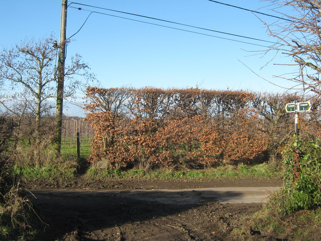
Image: © David Anstiss Taken: 16 Jan 2011
The long distance path leads from Cooper Street Drove, past Fleet Farm, through a field to the lane near Sandhills and then through an large orchard towards a lane to Lower Goldstone.
Images are licensed for reuse under creativecommons.org/licenses/by-sa/2.0
Image Location
Latitude
51.299018
Longitude
1.298224