Trig Point and disused Pit
Introduction
The photograph on this page of Trig Point and disused Pit by Martin Dawes as part of the Geograph project.
The Geograph project started in 2005 with the aim of publishing, organising and preserving representative images for every square kilometre of Great Britain, Ireland and the Isle of Man.

There are currently over 7.5m images from over 14,400 individuals and you can help contribute to the project by visiting https://www.geograph.org.uk
Trig Point and disused Pit
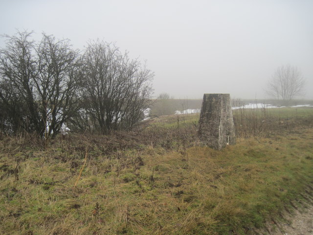
Image: © Martin Dawes Taken: 12 Jan 2010
Alongside the bridleway over Thirkleby Wold
Images are licensed for reuse under creativecommons.org/licenses/by-sa/2.0
Image Location


Leaflet Map data © OpenStreetMap
Latitude
54.099936
Longitude
-0.578238