Far end of Tamar Close, Bettws, Newport
Introduction
The photograph on this page of Far end of Tamar Close, Bettws, Newport by Jaggery as part of the Geograph project.
The Geograph project started in 2005 with the aim of publishing, organising and preserving representative images for every square kilometre of Great Britain, Ireland and the Isle of Man.

There are currently over 7.5m images from over 14,400 individuals and you can help contribute to the project by visiting https://www.geograph.org.uk
Far end of Tamar Close, Bettws, Newport
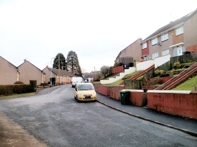
Image: © Jaggery Taken: 6 Jan 2011
Viewed from the edge of a path http://www.geograph.org.uk/photo/2221952 from an open space. The view is towards the junction with Monnow Way. http://www.geograph.org.uk/photo/1574230
Images are licensed for reuse under creativecommons.org/licenses/by-sa/2.0
Image Location
Latitude
51.608888
Longitude
-3.020914