Womenswold Beacon
Introduction
The photograph on this page of Womenswold Beacon by David Anstiss as part of the Geograph project.
The Geograph project started in 2005 with the aim of publishing, organising and preserving representative images for every square kilometre of Great Britain, Ireland and the Isle of Man.

There are currently over 7.5m images from over 14,400 individuals and you can help contribute to the project by visiting https://www.geograph.org.uk
Womenswold Beacon
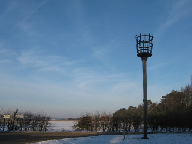
Image: © David Anstiss Taken: 26 Dec 2010
At the junction of the B2046 Adisham Road and the road to Woolage Village. It has a plaque on the post which reads 'Womenswold Beacon. This replica beacon was erected close to the site of the original beacon to commemorate the 400th Anniversary of the defeat of the defeat of the Spanish Armada. It was lit on 19th July 1988 by the first Lord Mayor of Canterbury, Cllr Tom Steele.'
Images are licensed for reuse under creativecommons.org/licenses/by-sa/2.0
Image Location


Leaflet Map data © OpenStreetMap
Latitude
51.211573
Longitude
1.178546