Chapel Street, Stratford-upon-Avon in 1984
Introduction
The photograph on this page of Chapel Street, Stratford-upon-Avon in 1984 by John Baker as part of the Geograph project.
The Geograph project started in 2005 with the aim of publishing, organising and preserving representative images for every square kilometre of Great Britain, Ireland and the Isle of Man.

There are currently over 7.5m images from over 14,400 individuals and you can help contribute to the project by visiting https://www.geograph.org.uk
Chapel Street, Stratford-upon-Avon in 1984
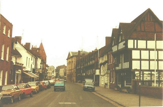
Image: © John Baker Taken: 6 Apr 1984
The black and white building nearest to the camera on the right hand side of the street is Nash's House see http://en.wikipedia.org/wiki/Nash's_House
Images are licensed for reuse under creativecommons.org/licenses/by-sa/2.0
Image Location


Leaflet Map data © OpenStreetMap
Latitude
52.190898
Longitude
-1.70724