Eastern edge of Westhope Common
Introduction
The photograph on this page of Eastern edge of Westhope Common by Trevor Rickard as part of the Geograph project.
The Geograph project started in 2005 with the aim of publishing, organising and preserving representative images for every square kilometre of Great Britain, Ireland and the Isle of Man.

There are currently over 7.5m images from over 14,400 individuals and you can help contribute to the project by visiting https://www.geograph.org.uk
Eastern edge of Westhope Common
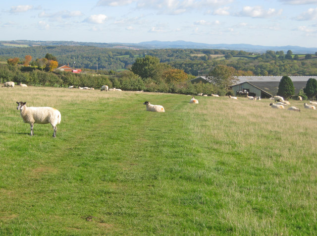
Image: © Trevor Rickard Taken: 20 Oct 2010
Following the track to large barns at Broomwell Farm just below. Queen's Wood on the next hill and the Malvern Hills on the horizon.
Images are licensed for reuse under creativecommons.org/licenses/by-sa/2.0
Image Location
Latitude
52.163903
Longitude
-2.774504