Monmouthshire countryside, Coed-y-fon
Introduction
The photograph on this page of Monmouthshire countryside, Coed-y-fon by Jaggery as part of the Geograph project.
The Geograph project started in 2005 with the aim of publishing, organising and preserving representative images for every square kilometre of Great Britain, Ireland and the Isle of Man.

There are currently over 7.5m images from over 14,400 individuals and you can help contribute to the project by visiting https://www.geograph.org.uk
Monmouthshire countryside, Coed-y-fon
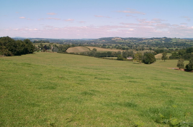
Image: © Jaggery Taken: 30 Aug 2010
The view NW from a field entrance at a sharp bend http://www.geograph.org.uk/photo/2193069 in the road west from Coed-y-fon Farm. The countryside here is described as 'rolling' - little totally flat land, nor any very steep hills.
Images are licensed for reuse under creativecommons.org/licenses/by-sa/2.0
Image Location
Latitude
51.648404
Longitude
-2.917736