Beside Lledan Brook
Introduction
The photograph on this page of Beside Lledan Brook by Penny Mayes as part of the Geograph project.
The Geograph project started in 2005 with the aim of publishing, organising and preserving representative images for every square kilometre of Great Britain, Ireland and the Isle of Man.

There are currently over 7.5m images from over 14,400 individuals and you can help contribute to the project by visiting https://www.geograph.org.uk
Beside Lledan Brook
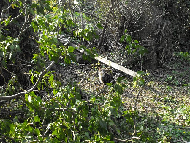
Image: © Penny Mayes Taken: 12 Apr 2010
According to the 19th century maps (on http://www.old-maps.co.uk/maps.html?txtXCoord=323000&txtYCoord=307500 ) Foundry Lane used to run down this side of the brook, or perhaps this was the entrance roadway. It looks as if someone has been trying to clear the area recently but they haven't made much head-way. The cat seemed pleased to see me.
Images are licensed for reuse under creativecommons.org/licenses/by-sa/2.0
Image Location
Latitude
52.660462
Longitude
-3.138692