Sheridan Terrace
Introduction
The photograph on this page of Sheridan Terrace by Simon Carey as part of the Geograph project.
The Geograph project started in 2005 with the aim of publishing, organising and preserving representative images for every square kilometre of Great Britain, Ireland and the Isle of Man.

There are currently over 7.5m images from over 14,400 individuals and you can help contribute to the project by visiting https://www.geograph.org.uk
Sheridan Terrace
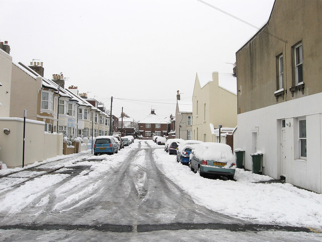
Image: © Simon Carey Taken: 2 Dec 2010
Residential street that runs like a crescent starting and finishing on Coleridge Street. Part of the Poets Corner district named after the roads than any bohemian lifestyle that was developed during the 1890s.
Images are licensed for reuse under creativecommons.org/licenses/by-sa/2.0
Image Location
Latitude
50.835905
Longitude
-0.179778