Bridleway to Radford Semele
Introduction
The photograph on this page of Bridleway to Radford Semele by David P Howard as part of the Geograph project.
The Geograph project started in 2005 with the aim of publishing, organising and preserving representative images for every square kilometre of Great Britain, Ireland and the Isle of Man.

There are currently over 7.5m images from over 14,400 individuals and you can help contribute to the project by visiting https://www.geograph.org.uk
Bridleway to Radford Semele
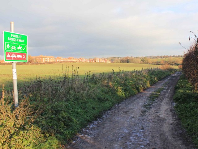
Image: © David P Howard Taken: 5 Dec 2010
View east down the bridleway to Radford Semele near its start at the end of Church Lane in Whitnash.
Images are licensed for reuse under creativecommons.org/licenses/by-sa/2.0
Image Location
Latitude
52.270465
Longitude
-1.516353