Roman Way
Introduction
The photograph on this page of Roman Way by Simon Carey as part of the Geograph project.
The Geograph project started in 2005 with the aim of publishing, organising and preserving representative images for every square kilometre of Great Britain, Ireland and the Isle of Man.

There are currently over 7.5m images from over 14,400 individuals and you can help contribute to the project by visiting https://www.geograph.org.uk
Roman Way
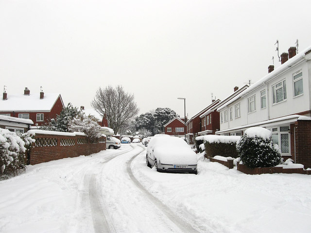
Image: © Simon Carey Taken: 2 Dec 2010
Residential street that lies between Southview Road, the B2167, and Roman Road. Named after a Roman villa that once existed nearby between the 1st and 4th centuries.
Images are licensed for reuse under creativecommons.org/licenses/by-sa/2.0
Image Location
Latitude
50.838575
Longitude
-0.236486