Edge of Greenmeadow Wood, Tongwynlais
Introduction
The photograph on this page of Edge of Greenmeadow Wood, Tongwynlais by Jaggery as part of the Geograph project.
The Geograph project started in 2005 with the aim of publishing, organising and preserving representative images for every square kilometre of Great Britain, Ireland and the Isle of Man.

There are currently over 7.5m images from over 14,400 individuals and you can help contribute to the project by visiting https://www.geograph.org.uk
Edge of Greenmeadow Wood, Tongwynlais
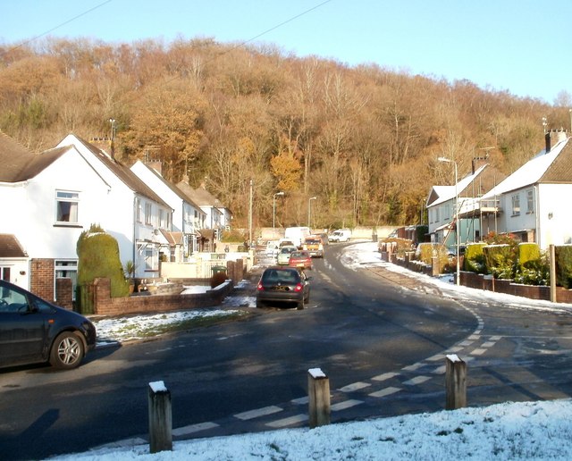
Image: © Jaggery Taken: 29 Nov 2010
The view from the Pantgwynlais (a residential road) along Greenmeadow Drive towards Greenmeadow Wood.
Images are licensed for reuse under creativecommons.org/licenses/by-sa/2.0
Image Location
Latitude
51.531188
Longitude
-3.245516