Chiltern Green: Copt Hall Road
Introduction
The photograph on this page of Chiltern Green: Copt Hall Road by Nigel Cox as part of the Geograph project.
The Geograph project started in 2005 with the aim of publishing, organising and preserving representative images for every square kilometre of Great Britain, Ireland and the Isle of Man.

There are currently over 7.5m images from over 14,400 individuals and you can help contribute to the project by visiting https://www.geograph.org.uk
Chiltern Green: Copt Hall Road
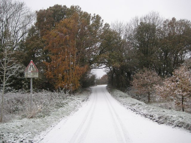
Image: © Nigel Cox Taken: 27 Nov 2010
Although the road beyond the trees is shown, this short section of road across Chiltern Green does not appear on large scale historic Ordnance Survey maps even as late as 1960.
Images are licensed for reuse under creativecommons.org/licenses/by-sa/2.0
Image Location
Latitude
51.861559
Longitude
-0.353179