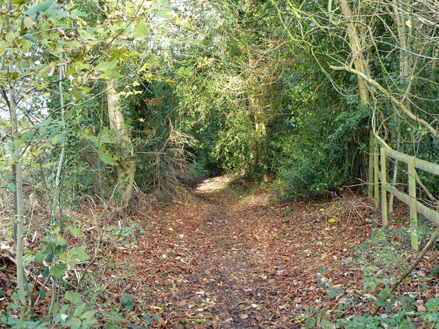
Love Lane
Introduction
The photograph on this page of Love Lane by Robin Webster as part of the Geograph project.
The Geograph project started in 2005 with the aim of publishing, organising and preserving representative images for every square kilometre of Great Britain, Ireland and the Isle of Man.
There are currently over 7.5m images from over 14,400 individuals and you can help contribute to the project by visiting https://www.geograph.org.uk

Image: © Robin Webster Taken: 24 Nov 2010
Route D1131 - a D-road throughout - is described as such over the short tarmac length at its northern end. The rest is called a footpath/walkway on the county council map. Just what legal situation exists for full use as a road is unclear. The surface is remarkably mud-free, rather a soft mould, easy walking apart from being chewed up by horses.

