Feeding time, Wenvoe
Introduction
The photograph on this page of Feeding time, Wenvoe by Jaggery as part of the Geograph project.
The Geograph project started in 2005 with the aim of publishing, organising and preserving representative images for every square kilometre of Great Britain, Ireland and the Isle of Man.

There are currently over 7.5m images from over 14,400 individuals and you can help contribute to the project by visiting https://www.geograph.org.uk
Feeding time, Wenvoe
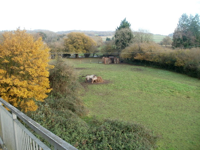
Image: © Jaggery Taken: 19 Nov 2010
Two horses are feeding in a field bordered by Port Road and Station Road East, viewed from the eastern edge of a footbridge. At the far end of the field, a rather battered-looking former railway wagon is in use as a shed.
Images are licensed for reuse under creativecommons.org/licenses/by-sa/2.0
Image Location
Latitude
51.450068
Longitude
-3.263454