Bridleway level crossing and cottage
Introduction
The photograph on this page of Bridleway level crossing and cottage by Robin Webster as part of the Geograph project.
The Geograph project started in 2005 with the aim of publishing, organising and preserving representative images for every square kilometre of Great Britain, Ireland and the Isle of Man.

There are currently over 7.5m images from over 14,400 individuals and you can help contribute to the project by visiting https://www.geograph.org.uk
Bridleway level crossing and cottage
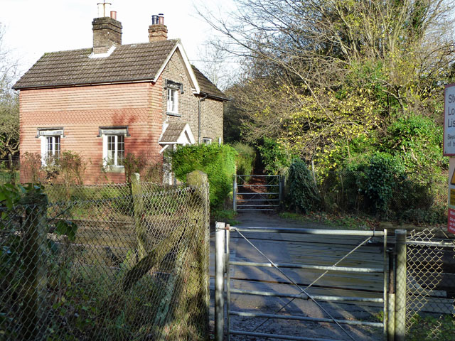
Image: © Robin Webster Taken: 19 Nov 2010
Although this was the only public crossing in the neighbourhood in former times, it seems unlikely it merited a crossing keeper, although the cottage appears to be, or have been, on railway land.
Images are licensed for reuse under creativecommons.org/licenses/by-sa/2.0
Image Location
Latitude
50.952955
Longitude
-0.114698