Bridlepath to Knightstone
Introduction
The photograph on this page of Bridlepath to Knightstone by Anthony Vosper as part of the Geograph project.
The Geograph project started in 2005 with the aim of publishing, organising and preserving representative images for every square kilometre of Great Britain, Ireland and the Isle of Man.

There are currently over 7.5m images from over 14,400 individuals and you can help contribute to the project by visiting https://www.geograph.org.uk
Bridlepath to Knightstone
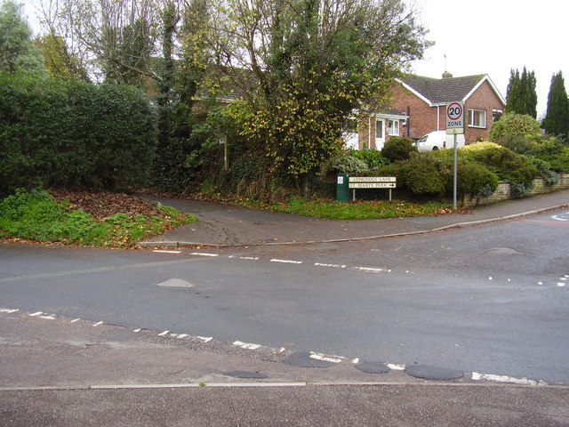
Image: © Anthony Vosper Taken: 13 Nov 2010
Situated off Longdogs Lane. The name Longdog is derived from a process used to cut timber. Timber was cut over a pit with a Longdog a type of saw. One man stood in the pit and one above the pit. From which we get the expression topdog. The man who didn't get covered in sawdust, was the topdog.
Images are licensed for reuse under creativecommons.org/licenses/by-sa/2.0
Image Location
Latitude
50.750036
Longitude
-3.268325