Looking back into Staffordshire
Introduction
The photograph on this page of Looking back into Staffordshire by Jonathan Kington as part of the Geograph project.
The Geograph project started in 2005 with the aim of publishing, organising and preserving representative images for every square kilometre of Great Britain, Ireland and the Isle of Man.

There are currently over 7.5m images from over 14,400 individuals and you can help contribute to the project by visiting https://www.geograph.org.uk
Looking back into Staffordshire
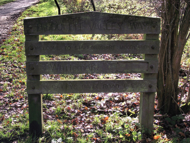
Image: © Jonathan Kington Taken: 10 Nov 2010
This rather scruffy, tired looking sign (especially when compared with the signs in Image) on the Biddulph Valley Way marks the border between Cheshire and Staffordshire. It also marks the northern boundary of Whitemore Local Nature Reserve (Image).
Images are licensed for reuse under creativecommons.org/licenses/by-sa/2.0
Image Location
Latitude
53.147275
Longitude
-2.173395