Bournemouth: southern edge of Meyrick Park
Introduction
The photograph on this page of Bournemouth: southern edge of Meyrick Park by Chris Downer as part of the Geograph project.
The Geograph project started in 2005 with the aim of publishing, organising and preserving representative images for every square kilometre of Great Britain, Ireland and the Isle of Man.

There are currently over 7.5m images from over 14,400 individuals and you can help contribute to the project by visiting https://www.geograph.org.uk
Bournemouth: southern edge of Meyrick Park
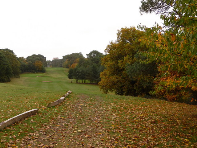
Image: © Chris Downer Taken: 4 Nov 2010
Looking back towards the clubhouse of Meyrick Park municipal golf course - I assume therefore that this is one of the last holes of the course.
Images are licensed for reuse under creativecommons.org/licenses/by-sa/2.0
Image Location
Latitude
50.726668
Longitude
-1.888873