Pied Bridge and Pied Bridge Farmhouse
Introduction
The photograph on this page of Pied Bridge and Pied Bridge Farmhouse by Evelyn Simak as part of the Geograph project.
The Geograph project started in 2005 with the aim of publishing, organising and preserving representative images for every square kilometre of Great Britain, Ireland and the Isle of Man.

There are currently over 7.5m images from over 14,400 individuals and you can help contribute to the project by visiting https://www.geograph.org.uk
Pied Bridge and Pied Bridge Farmhouse
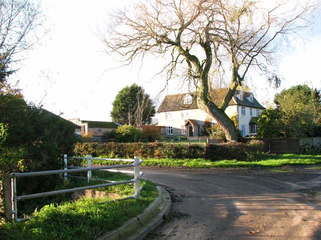
Image: © Evelyn Simak Taken: 7 Nov 2010
The lane seen in the foreground is called Burntoak Lane. Past the bridge and around the bend it changes its name to Low Lane only to become Burntoak Lane again after another bend, further to the west.
Images are licensed for reuse under creativecommons.org/licenses/by-sa/2.0
Image Location
Latitude
52.446315
Longitude
1.312236