Track to Michaels Wood
Introduction
The photograph on this page of Track to Michaels Wood by Cynthia Poole as part of the Geograph project.
The Geograph project started in 2005 with the aim of publishing, organising and preserving representative images for every square kilometre of Great Britain, Ireland and the Isle of Man.

There are currently over 7.5m images from over 14,400 individuals and you can help contribute to the project by visiting https://www.geograph.org.uk
Track to Michaels Wood
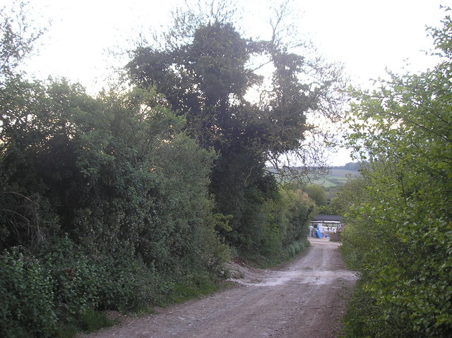
Image: © Cynthia Poole Taken: 9 May 2010
Track running from Down Barn to Michaels Wood north of the village of Cholderton following the alignment of a late Bronze Age linear ditch
Images are licensed for reuse under creativecommons.org/licenses/by-sa/2.0
Image Location
Latitude
51.187511
Longitude
-1.68459