Inverbervie Bay from Pillbox
Introduction
The photograph on this page of Inverbervie Bay from Pillbox by Dona Robbins as part of the Geograph project.
The Geograph project started in 2005 with the aim of publishing, organising and preserving representative images for every square kilometre of Great Britain, Ireland and the Isle of Man.

There are currently over 7.5m images from over 14,400 individuals and you can help contribute to the project by visiting https://www.geograph.org.uk
Inverbervie Bay from Pillbox
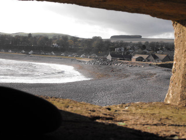
Image: © Dona Robbins Taken: 30 Oct 2010
Taken from the central aperture of the pillbox looking over Bervie Bay and south end of Inverbervie. The figure in the centre is a fisherman setting up. Blob on the left is a pebble thrown up by the waves. The floor of the pillbox is covered in pebbles - and inevitably broken glass and beer cans.
Images are licensed for reuse under creativecommons.org/licenses/by-sa/2.0
Image Location
Latitude
56.842486
Longitude
-2.273397