The Jubilee Bridge, Inverbervie
Introduction
The photograph on this page of The Jubilee Bridge, Inverbervie by Dona Robbins as part of the Geograph project.
The Geograph project started in 2005 with the aim of publishing, organising and preserving representative images for every square kilometre of Great Britain, Ireland and the Isle of Man.

There are currently over 7.5m images from over 14,400 individuals and you can help contribute to the project by visiting https://www.geograph.org.uk
The Jubilee Bridge, Inverbervie
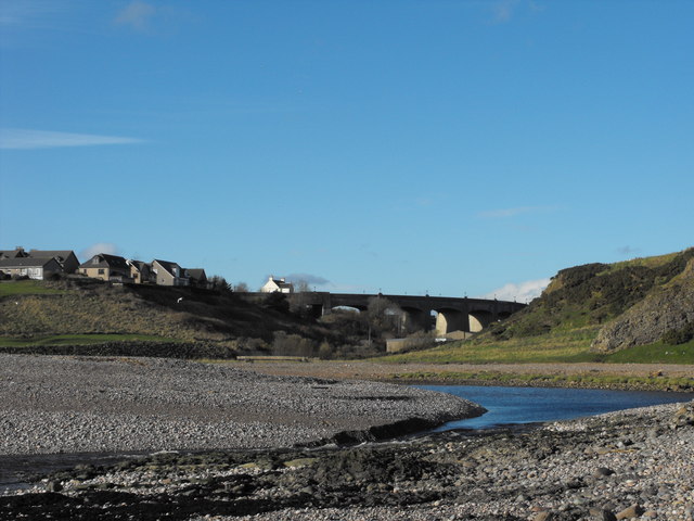
Image: © Dona Robbins Taken: 30 Oct 2010
View towards the east end of Inverbervie over the Bervie Water showing the Jubilee Bridge opened in 1935. Conglomerate cliff to right.
Images are licensed for reuse under creativecommons.org/licenses/by-sa/2.0
Image Location
Latitude
56.846881
Longitude
-2.276216