Oil pipeline
Introduction
The photograph on this page of Oil pipeline by Andrew Tatlow as part of the Geograph project.
The Geograph project started in 2005 with the aim of publishing, organising and preserving representative images for every square kilometre of Great Britain, Ireland and the Isle of Man.

There are currently over 7.5m images from over 14,400 individuals and you can help contribute to the project by visiting https://www.geograph.org.uk
Oil pipeline
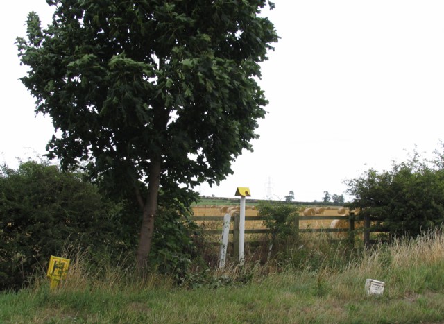
Image: © Andrew Tatlow Taken: 31 Jul 2006
A marker for the pipeline is in the centre with emergency information on the sign to the right Image There is also a fire hydrant sign which perhaps is there to reflect the pessimistic view that an oil pipeline increases the risk of fire. But isn't it rather near to the pipeline?
Images are licensed for reuse under creativecommons.org/licenses/by-sa/2.0
Image Location
Latitude
53.063278
Longitude
-0.759897