Moorings for boats in Hounslow
Introduction
The photograph on this page of Moorings for boats in Hounslow by Eirian Evans as part of the Geograph project.
The Geograph project started in 2005 with the aim of publishing, organising and preserving representative images for every square kilometre of Great Britain, Ireland and the Isle of Man.

There are currently over 7.5m images from over 14,400 individuals and you can help contribute to the project by visiting https://www.geograph.org.uk
Moorings for boats in Hounslow
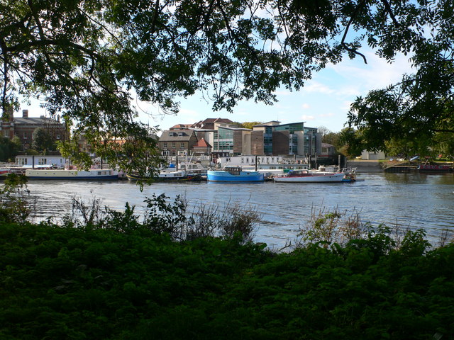
Image: © Eirian Evans Taken: 21 Oct 2010
Near the confluence of the Crand and the Thames at the western end of Isleworth Ait.
Images are licensed for reuse under creativecommons.org/licenses/by-sa/2.0
Image Location
Latitude
51.465184
Longitude
-0.321131