Big Mere, Marbury
Introduction
The photograph on this page of Big Mere, Marbury by Mike Harris as part of the Geograph project.
The Geograph project started in 2005 with the aim of publishing, organising and preserving representative images for every square kilometre of Great Britain, Ireland and the Isle of Man.

There are currently over 7.5m images from over 14,400 individuals and you can help contribute to the project by visiting https://www.geograph.org.uk
Big Mere, Marbury
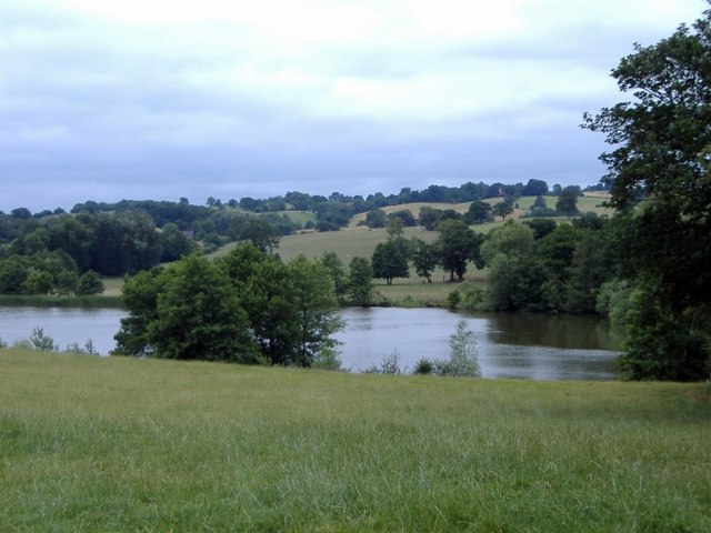
Image: © Mike Harris Taken: 2 Aug 2006
Marbury. Big Mere from footpath NW of church. Most images of this mere are taken from the South Cheshire Way, which forms a popular route on the other side of the mere. This gives a different perspective, from the north side looking towards Buttermilk Bank.
Images are licensed for reuse under creativecommons.org/licenses/by-sa/2.0
Image Location
Latitude
53.007596
Longitude
-2.658377