Burrenmore Road, Downhill
Introduction
The photograph on this page of Burrenmore Road, Downhill by Albert Bridge as part of the Geograph project.
The Geograph project started in 2005 with the aim of publishing, organising and preserving representative images for every square kilometre of Great Britain, Ireland and the Isle of Man.

There are currently over 7.5m images from over 14,400 individuals and you can help contribute to the project by visiting https://www.geograph.org.uk
Burrenmore Road, Downhill
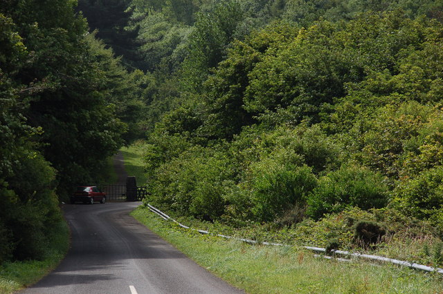
Image: © Albert Bridge Taken: 2 Aug 2006
The Burrenmore Road is an unclassified road running from the Mussenden Road at Downhill, through Downhill Forest, in the general direction of Ballyhacket. There is no other suitable description! This is the start of the road near the Lion’s Gate to the Downhill estate.
Images are licensed for reuse under creativecommons.org/licenses/by-sa/2.0
Image Location


Leaflet Map data © OpenStreetMap
Latitude
55.160901
Longitude
-6.816226