Balgrayhill Road
Introduction
The photograph on this page of Balgrayhill Road by Lairich Rig as part of the Geograph project.
The Geograph project started in 2005 with the aim of publishing, organising and preserving representative images for every square kilometre of Great Britain, Ireland and the Isle of Man.

There are currently over 7.5m images from over 14,400 individuals and you can help contribute to the project by visiting https://www.geograph.org.uk
Balgrayhill Road
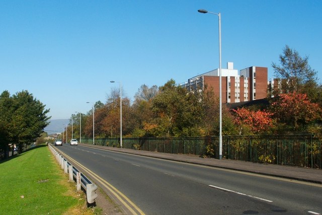
Image: © Lairich Rig Taken: 11 Oct 2010
The photograph was taken from the junction with Belmont Road. The large building on the right was formerly the Marie Curie Hospice (Glasgow). At the time that this picture was taken, the hospice had been relocated to a new building, a little over 300 metres to the north-east, within the grounds of Image
Images are licensed for reuse under creativecommons.org/licenses/by-sa/2.0
Image Location
Latitude
55.893106
Longitude
-4.229096