Lane to Queenhill church
Introduction
The photograph on this page of Lane to Queenhill church by Bob Embleton as part of the Geograph project.
The Geograph project started in 2005 with the aim of publishing, organising and preserving representative images for every square kilometre of Great Britain, Ireland and the Isle of Man.

There are currently over 7.5m images from over 14,400 individuals and you can help contribute to the project by visiting https://www.geograph.org.uk
Lane to Queenhill church
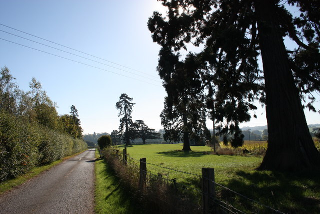
Image: © Bob Embleton Taken: 17 Oct 2010
Now designated as a private road with a strip of parkland on the right before the maize field.
Images are licensed for reuse under creativecommons.org/licenses/by-sa/2.0
Image Location
Latitude
52.02889
Longitude
-2.206634