The B1105 road past a barn by the junction with Hand Lane
Introduction
The photograph on this page of The B1105 road past a barn by the junction with Hand Lane by Evelyn Simak as part of the Geograph project.
The Geograph project started in 2005 with the aim of publishing, organising and preserving representative images for every square kilometre of Great Britain, Ireland and the Isle of Man.

There are currently over 7.5m images from over 14,400 individuals and you can help contribute to the project by visiting https://www.geograph.org.uk
The B1105 road past a barn by the junction with Hand Lane
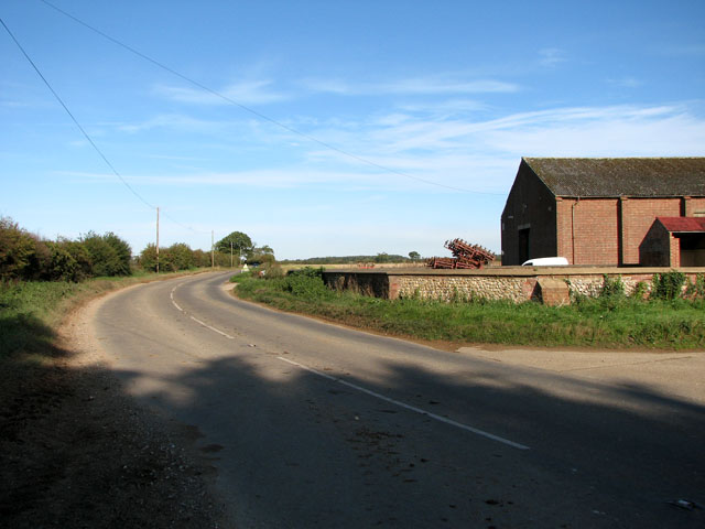
Image: © Evelyn Simak Taken: 21 Oct 2010
Hand Lane here joins the B1105 road. Another lane continues on the other side (at left). It is called Spring Lane and leads to Waterden Farm, further to the north-west.
Images are licensed for reuse under creativecommons.org/licenses/by-sa/2.0
Image Location
Latitude
52.875711
Longitude
0.816191