Eastern section of Court Farm Close, Llantarnam
Introduction
The photograph on this page of Eastern section of Court Farm Close, Llantarnam by Jaggery as part of the Geograph project.
The Geograph project started in 2005 with the aim of publishing, organising and preserving representative images for every square kilometre of Great Britain, Ireland and the Isle of Man.

There are currently over 7.5m images from over 14,400 individuals and you can help contribute to the project by visiting https://www.geograph.org.uk
Eastern section of Court Farm Close, Llantarnam
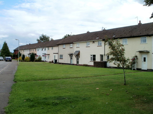
Image: © Jaggery Taken: 7 Aug 2010
Court Farm Close runs parallel with Llantarnam Road (just out of shot on the left) for about 250 metres.
Images are licensed for reuse under creativecommons.org/licenses/by-sa/2.0
Image Location
Latitude
51.636869
Longitude
-3.008537