The crossroads at the centre of Llanaelhaearn
Introduction
The photograph on this page of The crossroads at the centre of Llanaelhaearn by Eric Jones as part of the Geograph project.
The Geograph project started in 2005 with the aim of publishing, organising and preserving representative images for every square kilometre of Great Britain, Ireland and the Isle of Man.

There are currently over 7.5m images from over 14,400 individuals and you can help contribute to the project by visiting https://www.geograph.org.uk
The crossroads at the centre of Llanaelhaearn
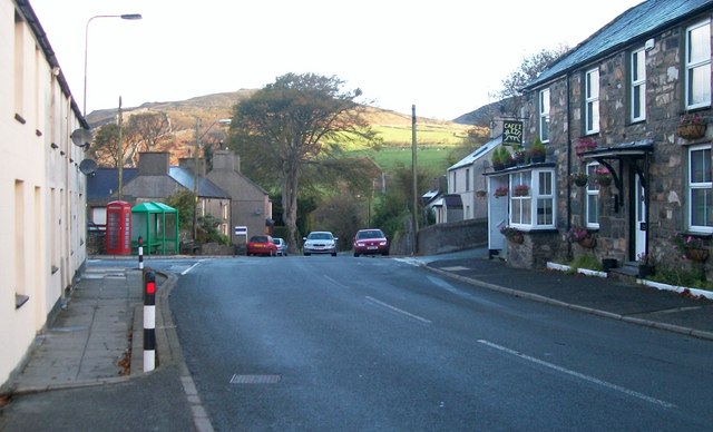
Image: © Eric Jones Taken: 16 Oct 2010
Here the A499 is crossed by a minor road. The building on the right, now a cafe, was the Tafarn yr Eifl (The Rivals Inn).
Images are licensed for reuse under creativecommons.org/licenses/by-sa/2.0
Image Location
Latitude
52.975529
Longitude
-4.401928